


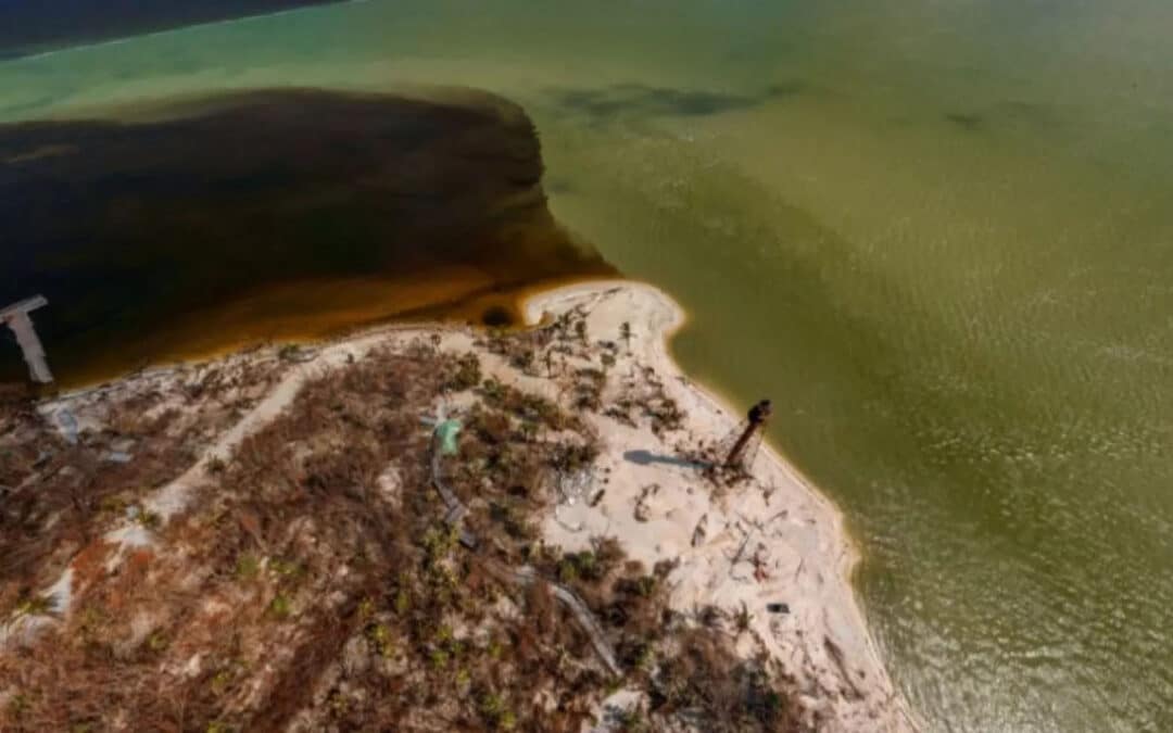
Drone images taken after Hurricane Ian show a crimson tide of nutrient-polluted water flowing from the Caloosahatchee River on its way to the Gulf of Mexico.
The Sanibel-Captiva Conservation Foundation uses the drone to take images of the water coming from the Caloosahatchee River, which moves along the eastern edge of Sanibel Island and winds around Lighthouse Point as it moves into the open Gulf of Mexico.
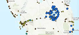
SCCF has had a special focus on the amount of water that the Army Corps of Engineers releases into the Caloosahatchee River from Lake Okeechobee for years, due to the high levels of nitrogen and phosphorus and other pollutants from residential developments in the Kissimmee and Fort Myers areas, and corporate-sized agricultural fields in the lake’s watershed.
SCCF, Calusa Waterkeeper and many other environmental groups in Southwest Florida have been working with the Army Corps to monitor the amount of water, or flow, that comes down the river.
Calusa Waterkeeper, Inc. a non-profit working to protect water resources throughout greater Lee County has spent years documenting what the group calls “harmful discharges” of water from nutrient-rich Lake Okeechobee into the Caloosahatchee River and out onto the Gulf of Mexico.
“Lake Okeechobee is often referred to as the ‘liquid heart’ of Florida. Unfortunately, over the years, the lake has become heavily polluted by run-off from agriculture and development in Central and South Florida. As it was designed in 1947 to avoid flooding south of the lake, the Caloosahatchee and St. Lucie rivers are the two ‘safety valves’ of the system during high water events. Water from Lake Okeechobee is now routinely discharged to these rivers and sent to tide in the Gulf of Mexico and Atlantic Ocean. This practice is also starving Florida Bay of the freshwater it naturally received through the historic Everglades.” -Calusa Waterkeeper
Listen to the Interview